
Anyone who has followed a footpath that turned out to be a drainage ditch knows the value of reading the ground before you stand on it. A topographic map is simply a drawing of the land, made with a small vocabulary of lines, colours and symbols. Learn that vocabulary and a folded sheet of paper will tell you where the hill steepens, where a stream crossing turns soft underfoot, and how long the walk home really is.
Start With the Scale, Not the Lines
Scale tells you how much ground fits on the paper. On a 1:25,000 map — the usual choice for walking — one centimetre covers 250 metres of ground, so four centimetres is a kilometre. A 1:50,000 map shows the same area with half the detail: one centimetre is 500 metres, and small features such as stiles, ponds and short field boundaries begin to vanish.
That difference matters when you plan. On a 1:25,000 sheet you can usually see which side of a hedge a gate sits on. On a 1:50,000 sheet you may see the boundary but not the gate. If a route depends on small features, use the larger-scale map.
To measure a path, lay the straight edge of a piece of paper along the route and tick off each turn, then compare the ticks with the scale bar. Add a margin for the way a real path wanders around wet patches and fallen trees. Straight-line distance on a map is almost always shorter than the walk itself.
Contour Lines: The Shape of the Ground
Contour lines join points of equal height. Every map states its contour interval — often 5 or 10 metres — in the legend, and every fifth line is drawn heavier and labelled with its elevation. Count from a labelled line and you can work out the height of any spot on the sheet.
The spacing does the real work:
- Tightly packed contours mean steep ground. A few lines almost touching is a slope you will feel in your calves.
- Widely spaced contours mean gentle ground, good for an easy line or a fence run.
- A V pointing uphill is a valley, stream or gully. Water collects there, and the ground is often wet.
- A V pointing downhill is a spur or ridge, usually drier and easier going.
- Closed loops mark a summit, or a hollow if the numbers fall towards the middle. Hollows hold cold air and frost.
Look at the pattern as a whole rather than single lines. Two valleys separated by a spur, a shoulder that flattens halfway up a hill, a plateau edge dropping away sharply on one side — these shapes tell you where to walk, where to drain, and where a track can sensibly climb.
Symbols and Colours You'll Use Most
Map series differ, so read the legend on your own sheet before trusting a colour. Broadly, though, the conventions are consistent:
- Blue for water: rivers, streams, ponds, ditches, marshes.
- Brown for relief: contours, cuttings, embankments.
- Green for vegetation: woodland, orchards, sometimes rough grazing.
- Black for human features: buildings, walls, fences, tracks, power lines.
- Distinct coloured dashes for public rights of way; solid lines often mark tracks rather than legal paths.
Small marks carry a lot of meaning. A gate is a break in a boundary line. A stile or footbridge is a short symbol that saves you a long detour. A ford tells you the road crosses water at the surface. A dashed line running to a farm may be a private track with no right of access, so check before you rely on it.
Grid References and Finding Exactly Where You Are
A six-figure grid reference pinpoints a square 100 metres across. Read it eastings first, then northings — along the corridor, then up the stairs. Write it down before you set off, and note a second reference for your turn-around point.
In the field, work from big to small. Identify a large feature you can see and match it to the map, then narrow down with smaller ones: a bend in a wall, a junction of streams, a copse on a slope. Useful habits include:
- Handrails. Follow a linear feature — a wall, stream or ridge — and you cannot drift far off line.
- Catching features. Know what you will hit if you overshoot, such as a road or a river, so a mistake stays small.
- Aiming off. Deliberately head slightly to one side of your target so that when you reach the handrail you know which way to turn.
- Pacing. Count double steps over a measured 100 metres once, then use that count to judge distance in poor visibility.
Using a Compass Without Overcomplicating It
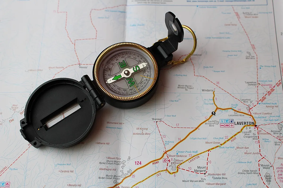
A baseplate compass does two jobs. First, orienting the map: lay the compass on the sheet, turn map and compass together until the needle aligns with the map's north lines — accounting for local magnetic declination, the difference between grid north and magnetic north. Your local value is printed in the map legend, and it changes slowly over the years, so use the figure on your current sheet.
Second, taking a bearing: put the long edge of the baseplate from where you are to where you want to be, rotate the bezel until its lines match the map's north lines, then read the number at the direction-of-travel arrow. Add or subtract declination, hold the compass flat, and follow the arrow.
Keep the compass away from fence wire, gates, vehicles and phones, which can pull the needle. Trust the bearing, but keep checking the ground against the map as you go. Compass work in thick mist is far easier if you have already picked out a handrail.
What Land Managers Look For on the Same Map
For anyone running a few fields, a wood or a smallholding, contours answer questions that walking boots do not. Where does water gather? Follow the V shapes uphill and you find the wet flushes and springs that feed a boggy corner. Which slopes face the sun? An aspect that catches morning light dries earlier and warms faster. Where can a vehicle reasonably go? Gentle, well-drained ground with existing gateways is worth more than a short steep cut. Where do boundaries already run, and do they follow contours or cut across them? Fencing along a slope is harder to keep sound than fencing with the fall of the land.
Contours also warn you about erosion risk: long, steep, bare slopes above a watercourse need more care than gentle ground. Mark the map with what you find — wet patches, broken gates, a culvert that blocks — and it becomes a working record of the place rather than a decoration.
A Field Habit Worth Building
Take a map on walks you already know. Stop every so often, find your position, and check whether the ground matches the drawing. That repetition is what turns map reading into instinct. Keep the sheet in a clear case, carry a compass even on fine days, and leave your intended route and expected return time with someone at home. Mobile signal in valleys and woods is unreliable, so treat the map and compass as your primary tools and the phone as a backup. And read the legend on every new sheet: the language is consistent, but it is never quite identical.
Photo: PIX1861 / Pixabay